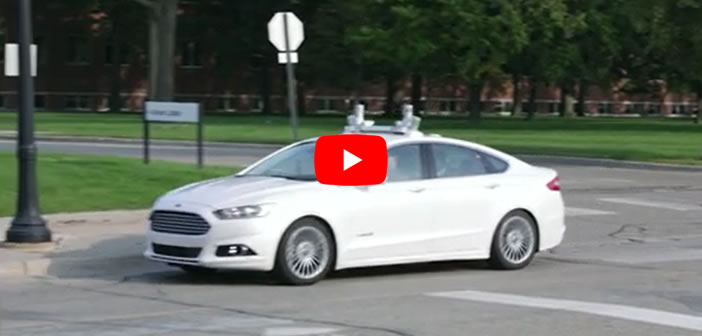
An exclusive insight into Ford’s self-driving cars, which use high-resolution 3D maps – complete with information about the road, road markings, geography, topography and landmarks like signs, buildings and trees. The vehicle uses LiDAR pulses to pinpoint itself on the map in real time. Additional data from radar gets fused with that of LiDAR to complete the full sensing capability of the autonomous vehicle.


